LAKE MORPHOMETRY
To acquire a first-hand knowledge and appreciation of lake morphometry
and of Lake Winona, you will collect data and construct a bathymetric
map of the undredged western basin of Lake Winona, and then use
that map to make various morphometric calculations for comparison
to a map from the 1980s.
The western basin of Lake Winona now contains less volume and
more littoral area than it did in the 1980s.
Using a Lake Winona shoreline map and the transect data collected
from Lake Winona, pencil in (very lightly) each of the transects,
and plot precisely (to scale) the depth measurements along the
transects. By interpolating between the points of known depth,
locate points of equal depth (e.g., 5 feet) throughout the basin,
and then connect these points of equal depth with contour lines
(isopleths). Repeat the process for each depth (10, 15, 20, 25,
30, and 35 feet). Use your best judgement in sketching in the
contour lines; you may need to "adjust" your contour
lines to allow other contours to "fit".
Once your contours are completed, compare your bathymetric map
to the map for the pre-dredged lake. Use the instructions to determine
the following for both the new and old maps:
* maximum length
* maximum width
* surface area and areas >5 feet deep, >10
feet deep, >15 feet deep, >20 feet deep, >25
feet
deep, >30 feet deep, and >35 feet deep
* total volume and volume of each depth stratum
* maximum depth
* mean depth
* relative depth
* shoreline length
* shoreline development
* construct hypsographic curves and depth-volume curves (using
percent area and percent volume, as in the two lower diagrams
in Fig. 1-6)
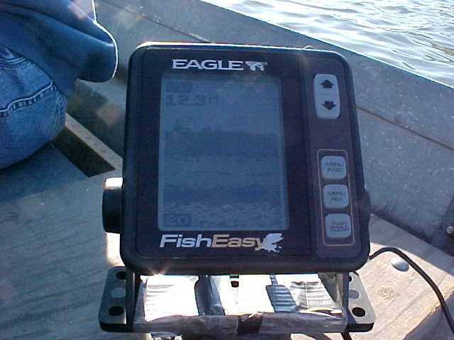
EQUIPMENT

boat
depth-finder
outboard motor
pencil
metric ruler
calculator
polar planimeter
graph paper grid
Return to Limnology
Lab
Neal D. Mundahl
Winona State University
Winona, MN 55987-5838